Quality checks and imagery
There exist multiple quality check tools which detect suspicious data such as unconnected highways. One example is osmose for which this server is doing the heavy lifting on the back-end side for all South-East-Asia analysis.A huge drawback of these tools is that you often need imagery to fix the issues. For example to continue a major highway which just ends you need imagery or GPS tracks to be able to complete the highway. But the QA tools show all issues without considering whether there is imagery or not.
This was the reason I created a site which only displays the problematic ways for which there is imagery available.
What is displayed?
This map displays major highway ends which are not connected to any other road. This is almost always an error. In reality there are smaller roads leading to a highway. The map is filtered so that only these positions are highlighted for which there usable imagery available.The map shows a yellow circle at the node which is not connected. If there are multiple nodes in close proximity they are clustered together and a number shows how many of them had been clustered.
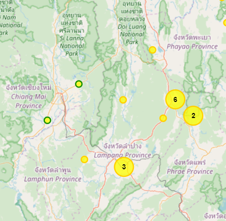
To give a hint about the quality of the available imagery those with good imagery options have a green border on the circle. Medium quality imagery has a dark yellow border, low quality no border. Also "nearly connects" of major highways are visible.
Editing the data
Please use the RemoteControl buttons on the left to load the area of your choice in the editor. Best is to zoom in all the way so the area loaded is not too large. My suggestion is to use JOSM to edit. If you prefer potlatch or iD please use the dedicated links on the left. In case RemoteControl is not working in JOSM check the settings. Click on the greyed-out icon to re-check.

In the editor it's easy to continue the highway to resolve the loose end. Cycle through the available imagery providers to find the most suitable imagery for the current position.
Often the images offered are clearly coming from the same source but are provided in different resolutions. Other times the source is different giving the chance to counter cloud coverage or alignment problems.
Make it a habit to always load available GPS tracks to check the alignment of the imagery before drawing geometries from the imagery.
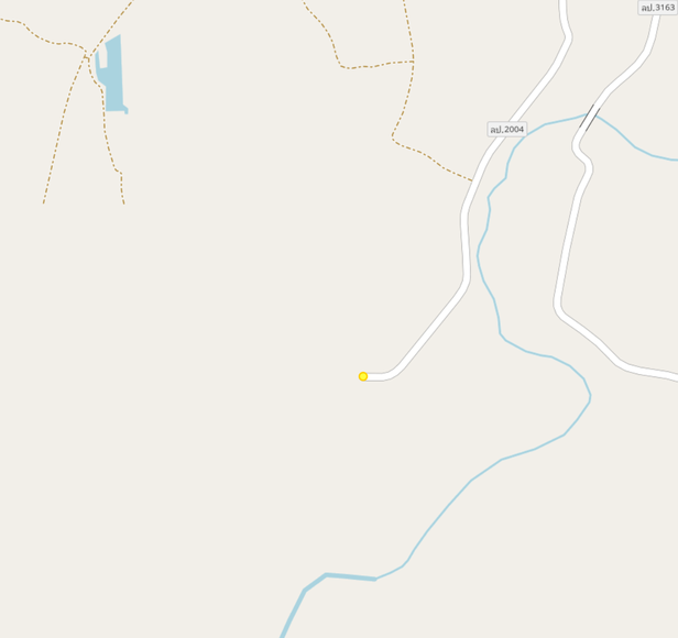
The area highlighted above has such a loose end. Opening the area with the Bing imagery layer makes it easy to understand why the road has a loose end. The high-resolution imagery ends here.
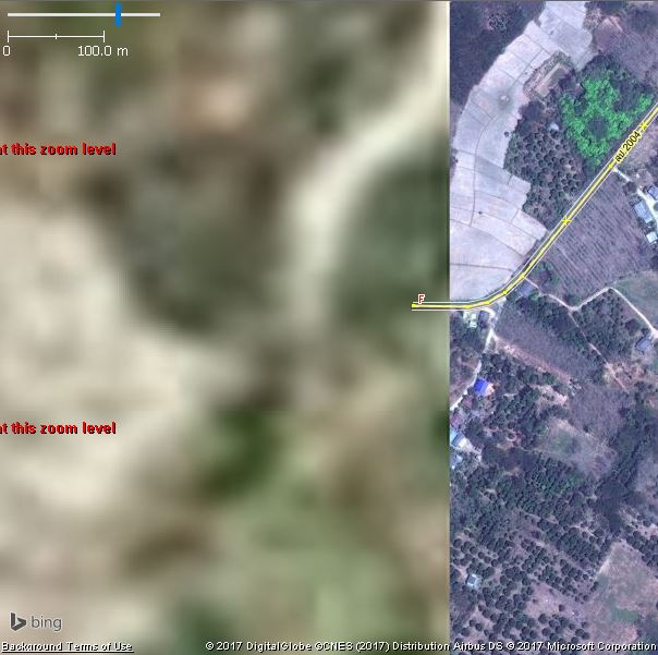
By cycling through the imagery layers we observe that Mapbox imagery uses obviously the same source (most likely landsat), but also has no better imagery available.
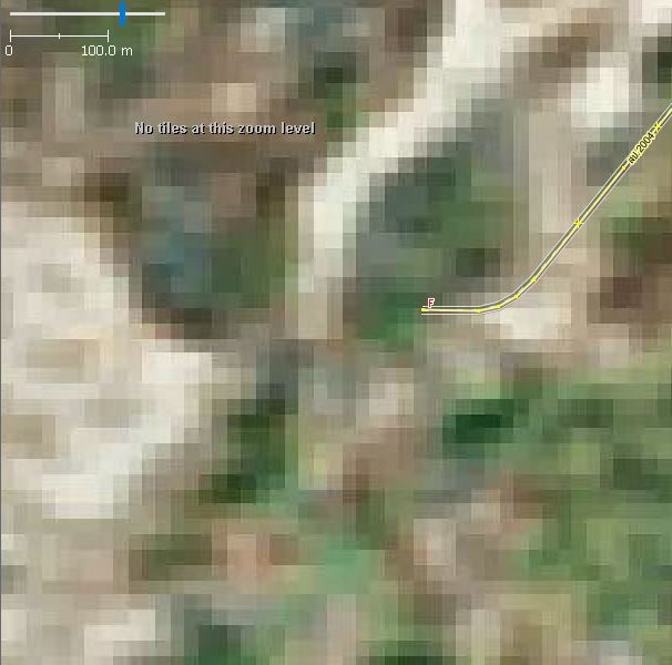
Esri imagery has usable imagery which would allow to continue the major highway. Zooming in is not possible as imagery is only provided up to zoom level 17.
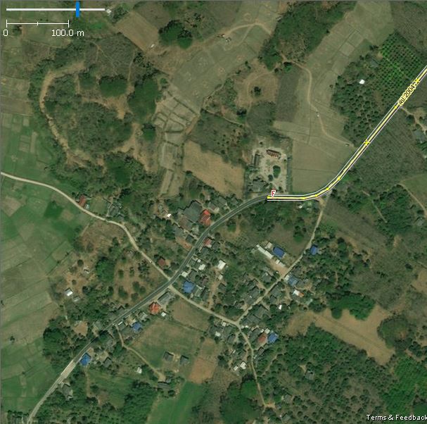
The Digital Globe Premium layer is using the same imagery but provides the possibility to zoom in further.
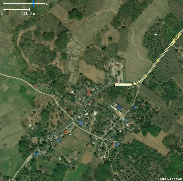
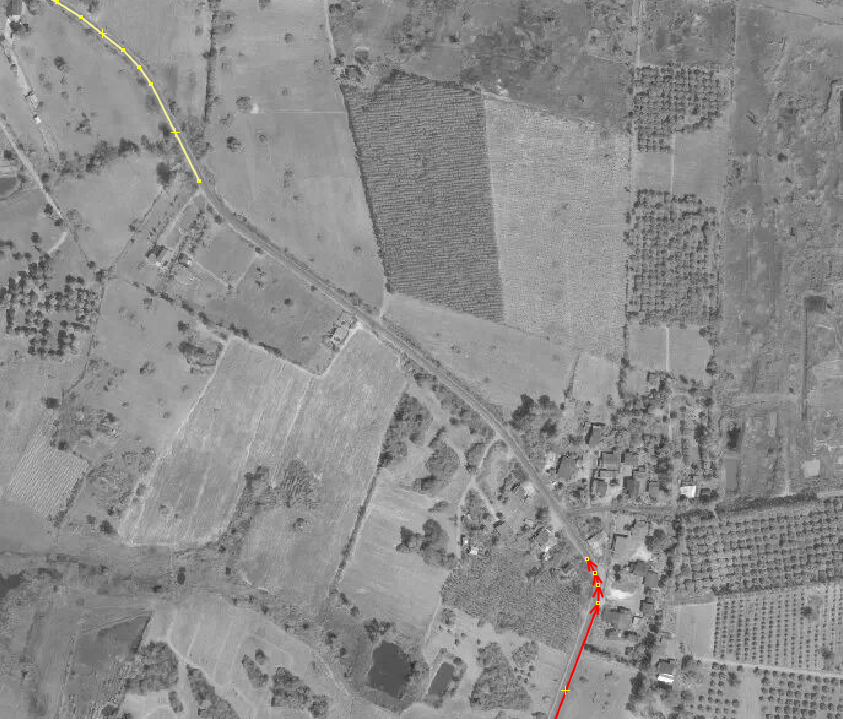
With the Digital Globe Standard layer is an alternative imagery available which allows to cope with potential cloud coverage or newly constructed highways.
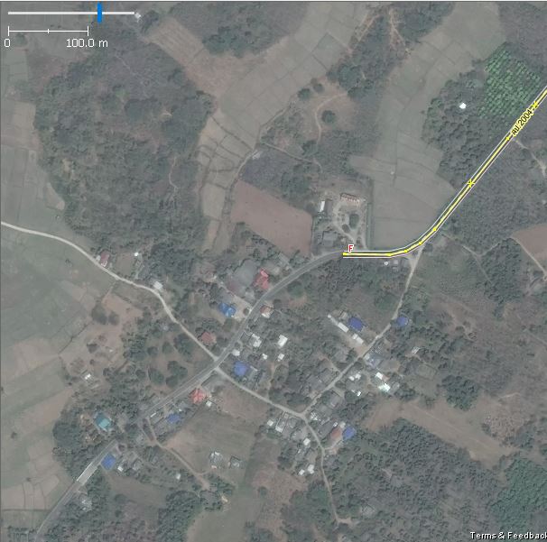
Cloud coverage
It could happen that there are loose ends but when you check the imagery you discover that it has clouds hiding the road so you can't trace it.
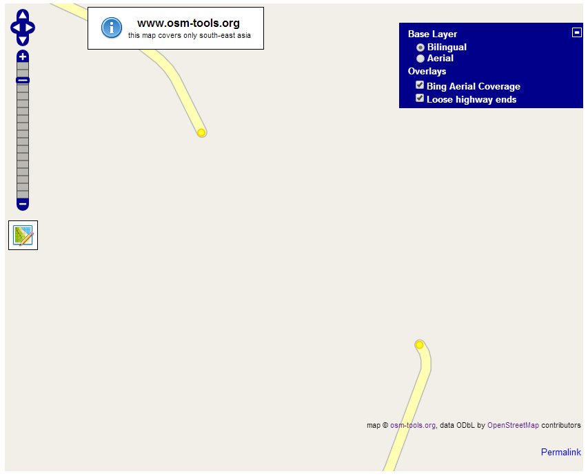
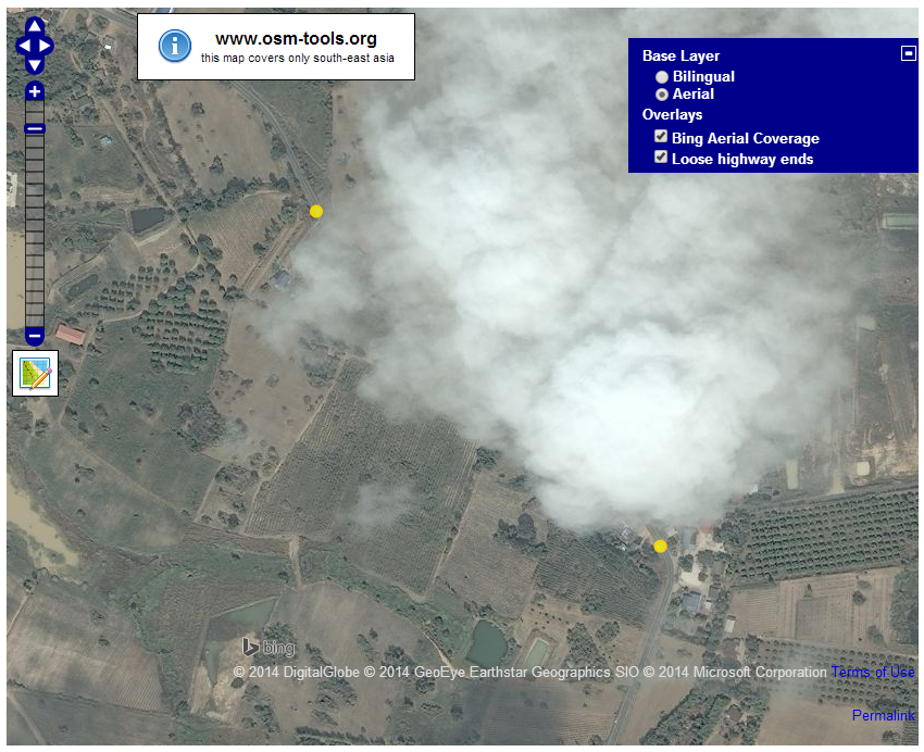
Don't worry! There is still the chance to be able to complete the road, even without having GPS tracks. Due to the generous offer from different companies we have additional imagery source at hand. Switch through the various sources to find the best suited imagery available.
Things to consider
There are a few things to consider when using this tool.Please pay attention to a possible offset in aerial imagery. Best is to check for existing GPS tracks to align the imagery.
Overview
Return to the Overview page to find more tools.
